Links to the trails
Lead King Basin
Schofield Pass
Sadly I didn't get very many photos since my sister was in charge of operating the camera, but was more occupied by the off camber turns on shelf roads and grabbing anything to hold on to.
Below are the ones I did get.
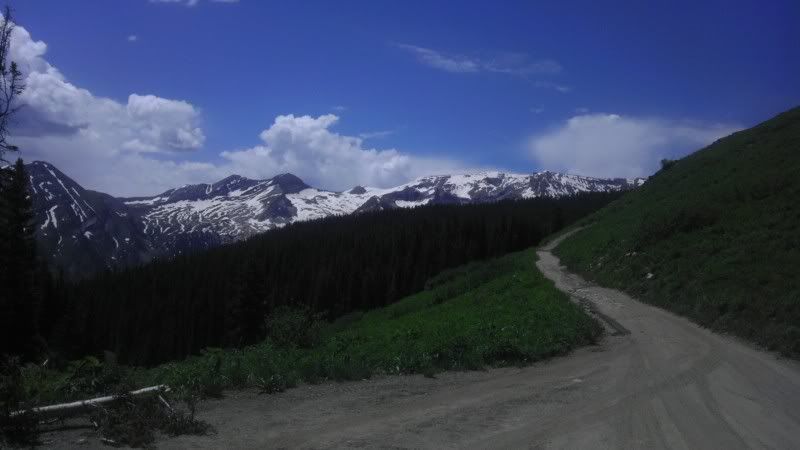
View from the top of Lead King
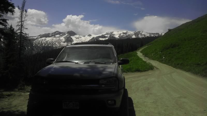
With the TB in the picture
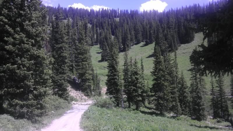
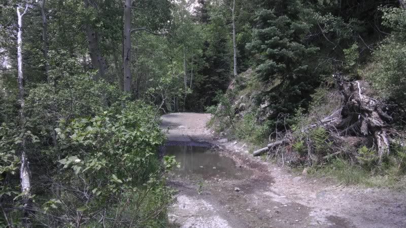
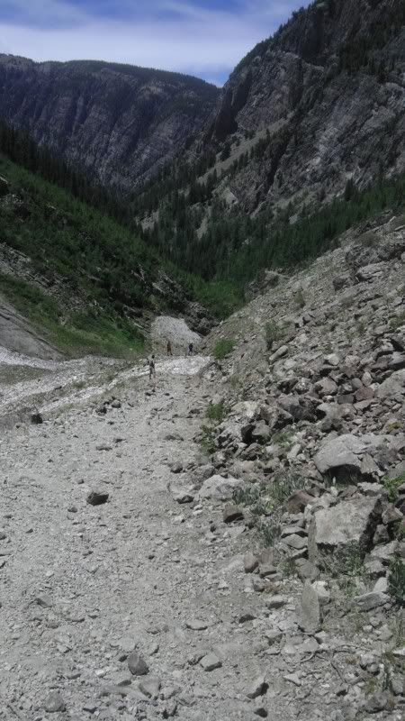
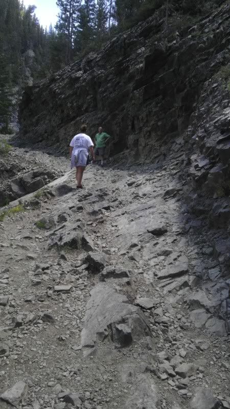
Start of going down
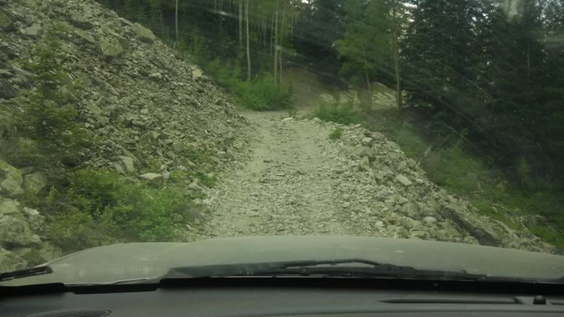
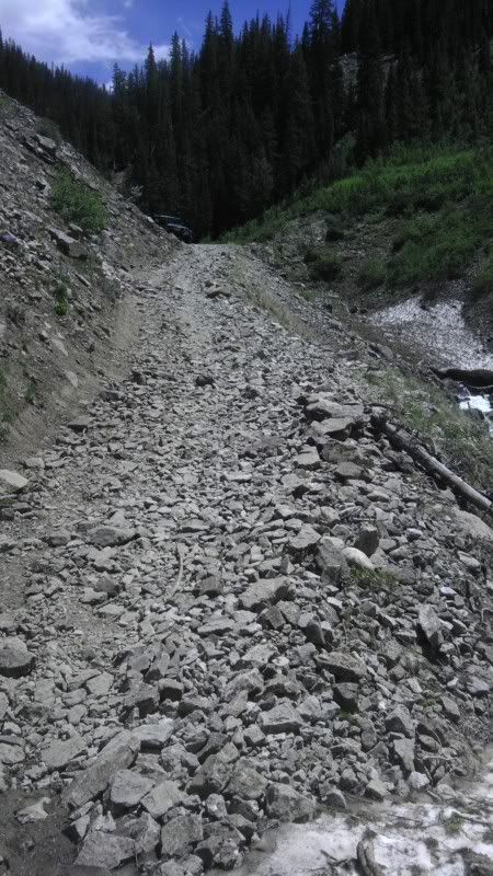
The width of the trail, just about 1 car wide
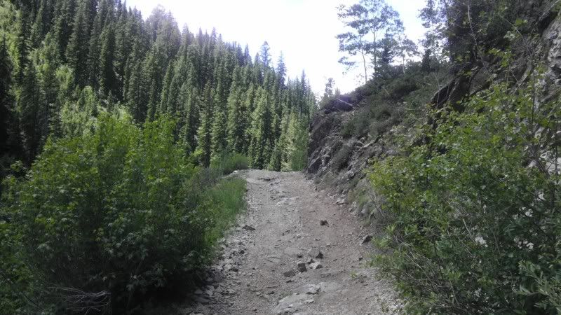
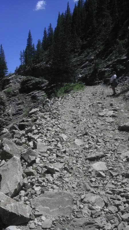
Looking back from the corner at the start of Schofield Pass
Looking up at the corner after starting down the trail
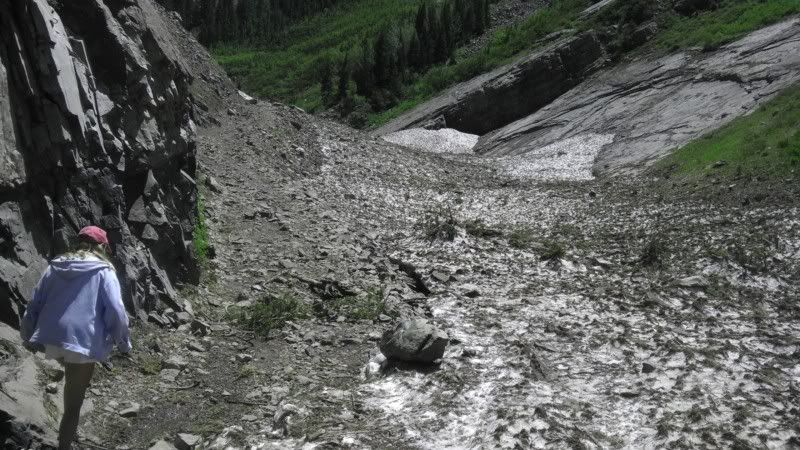
Down at the trail before the bridge, snow from an avalanche over the winter
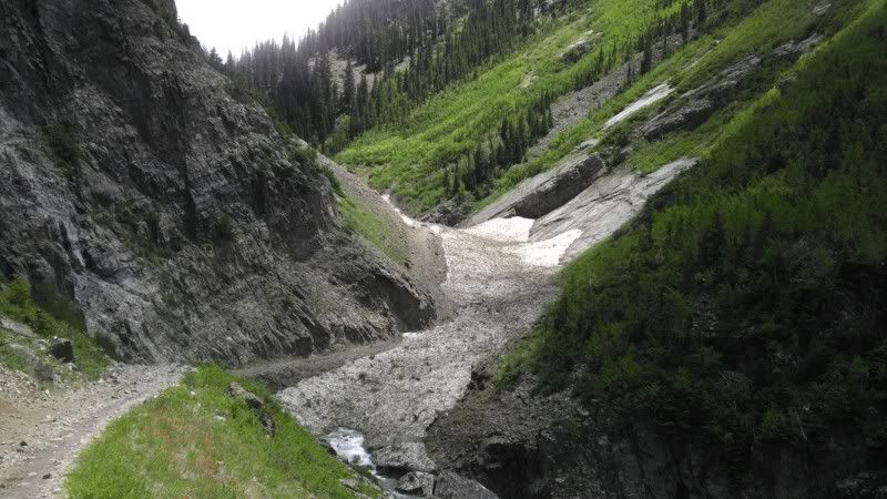
Snow covering the Crystal river
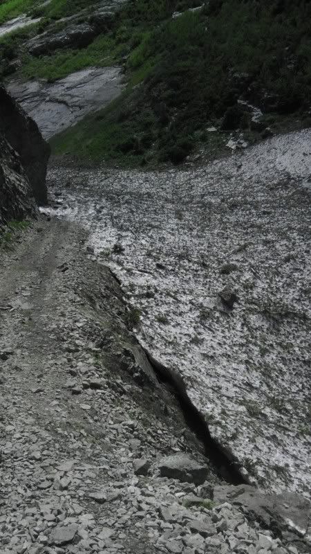
More snow and the lowest part of the trail
Up the hill to the bridge
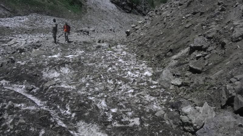
Looking down the hill towards the start of the trail, standing on 6 ft of snow, about 15 feet to the people standing below
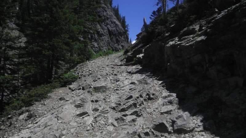
Difficult to tell how steep the hill is from pictures
Standing by the Jeep at the top before the bridge looking back down the trail, about 300 feet to the people below
From the bridge, looking up to the difficult part of the trail
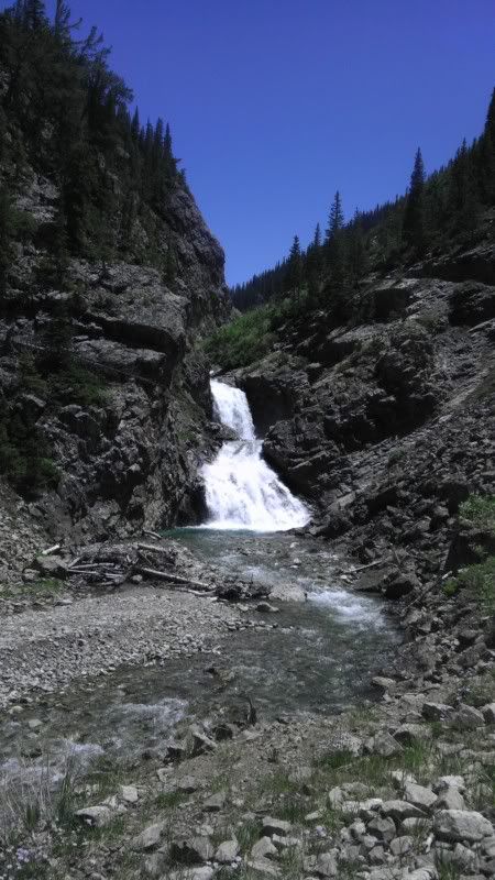
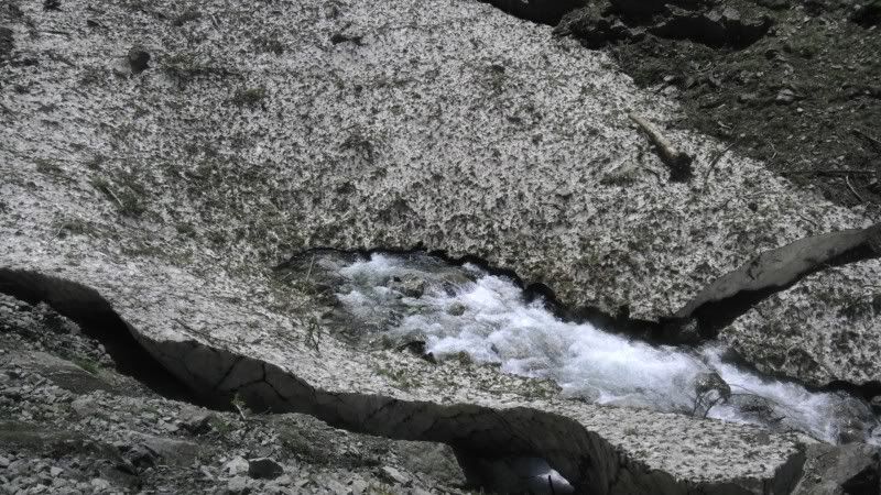
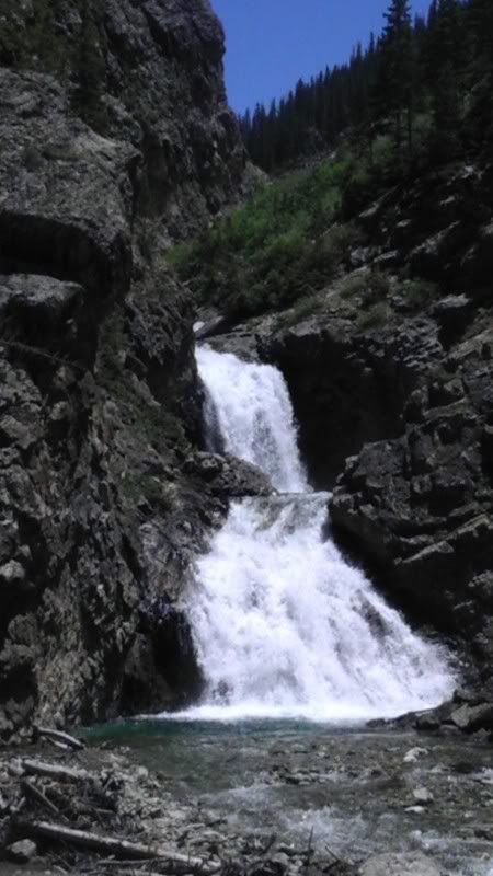
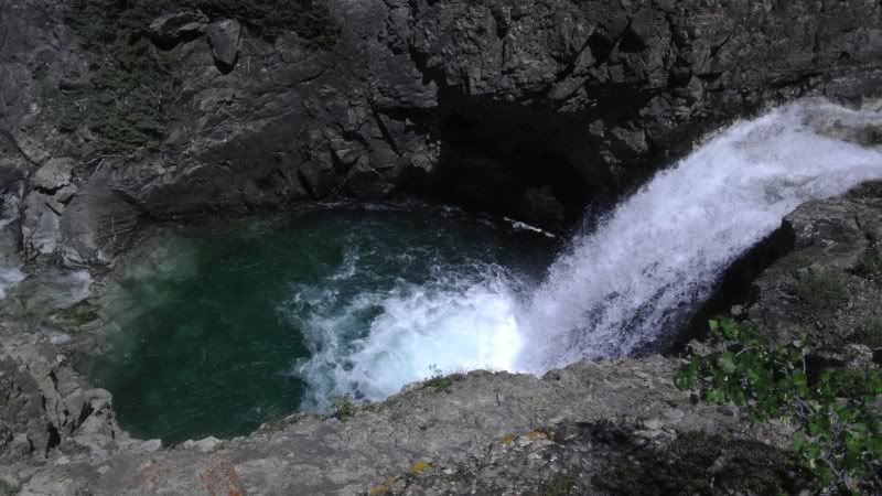
Waterfall 30 feet off the trail
Looking up from the bridge
The most difficult part of the trail, about 100 feet, barely wide enough for a full size truck, my sister is standing next to the most intimidating view on this part
Looking down from the rock in the previous picture, its about 100 feet down to the water, misplace a tire on that rock and the car is going over the edge.
After the turn/rock from previous pictures, slightly off camber, with varying rock sizes from 7-20 inches, the rest of the trail is rated easy past this part
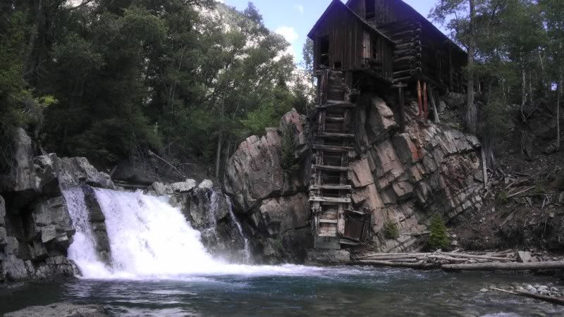
Panoramic of the old Crystal mill
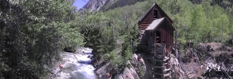
The mill from river level
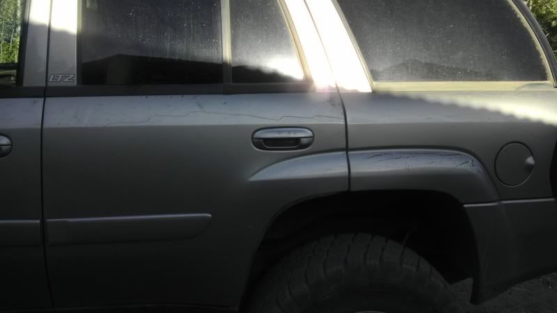
And to round out the trip, wouldn't be a good time unless you come back with trail pinstriping
After looking at the trail, I have to get a little more comfortable with the abilities of the TB, then I'd feel good about driving up Schofield. When I do, I'll document and photograph the entire thing.


